Visualizing Google Location Data in Python with Bokeh
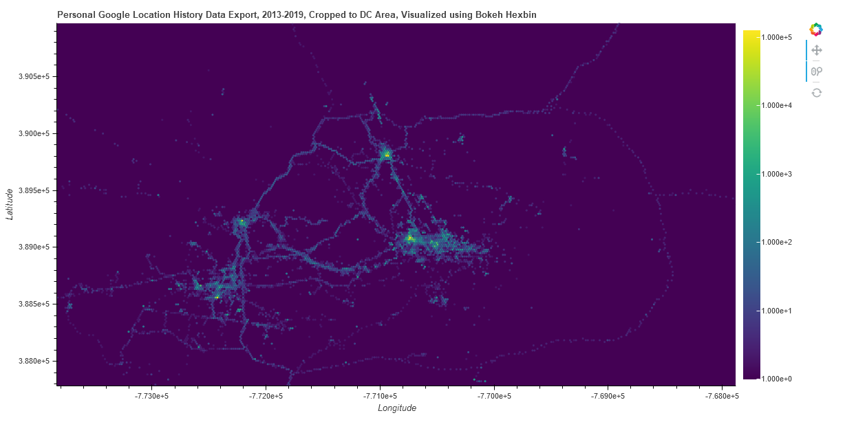
Google collects a lot of data. This project visualizes 6 years of personal location data collected by Google and exported via Google Takeout. Python is used to aggregate the data and visualize it using the Bokeh library.
Location traces near the DC area are counted in a hexbin pattern. Features like Major highways and bike trails are visible, with the beltway and Route 66 being clearly visible. Hot spots with more location traces indicate areas that have been visited frequently, such as workplaces or homes.


